An Introduction to the Perth Basin
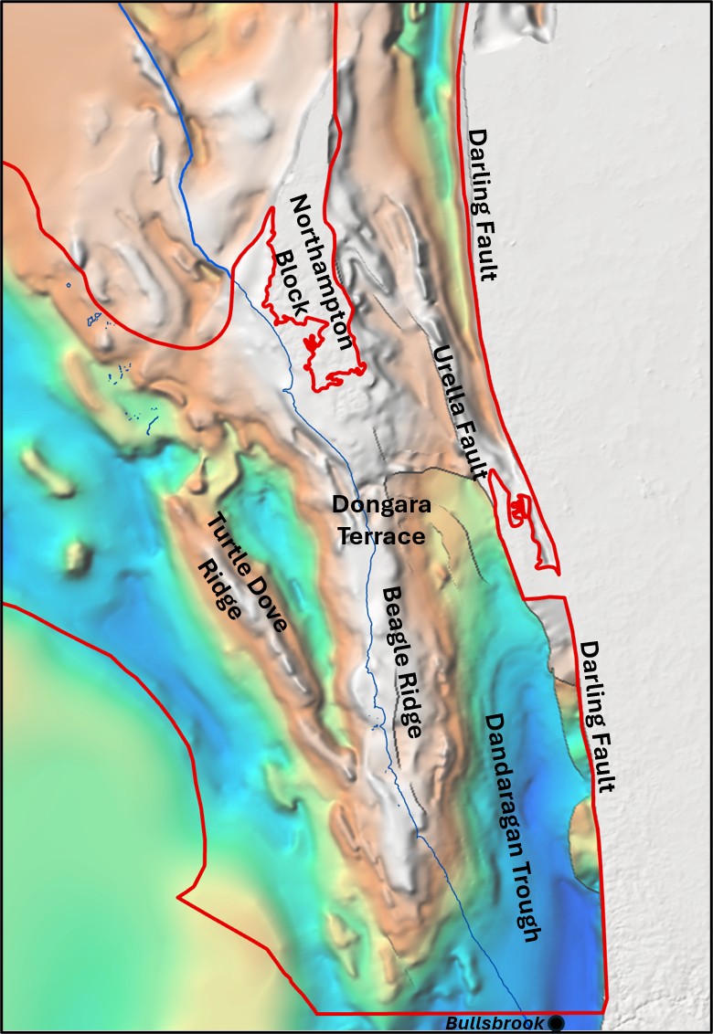
The Perth Basin is a large (approximately 174,000 km2), elongate, north to north-northwest trending sedimentary basin that extends roughly 1,300 km along the western margin of the Australian continent, from north of Geraldton to south of Augusta, with both onshore and offshore components (Mory and Iasky, 1996). The basin formed through repeated rifting associated with the break-up of Gondwana, culminating in the separation of Greater India from the Australian margin in the Late Jurassic.
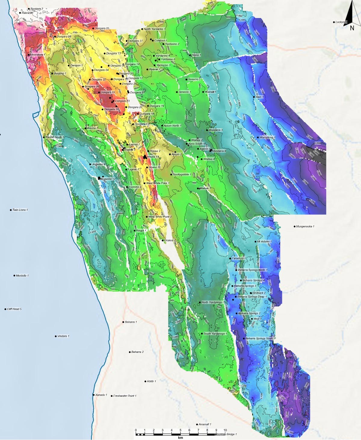
The informally defined northern Perth Basin is the main hydrocarbon-bearing province within the Perth Basin, although non-commercial quantities of oil and gas have been identified in the southern Perth Basin, notably at Whicher Range (gas, onshore) and Gage Roads (oil, offshore).