CGG GeoSoftware has launched WellPath, a new interactive 3D well path planning solution for optimal well planning in unconventional and fractured reservoirs and offshore development platforms, as part of its InsightEarth® 3D visualization and interpretation software suite.
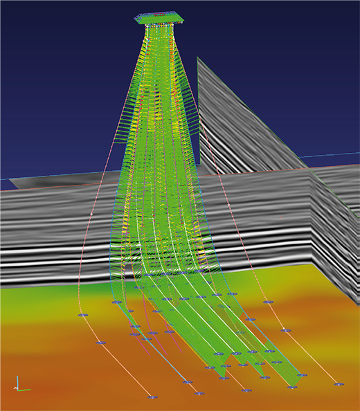
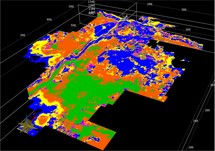
CGG said that WellPath shows the complexity of the subsurface drilling environment in 3D so that drillers can quickly plan and QC horizontal wells on high-density, multi-lateral pads or large offshore platforms. Drilling engineers now have the power to perform interactive directional well path planning while adhering to the constraints of geological targets and engineering design. Drillers can optimize plans based on fractures, facies, geobodies, and reservoir attributes while avoiding hazards, legacy wells, and recent completions prevalent in certain areas, such as the Permian Basin of west Texas.
Optimal solution
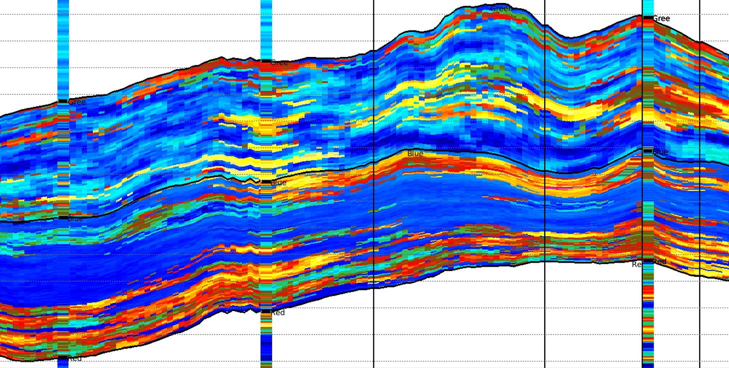
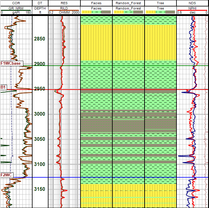
A significant feature of WellPath is the ability to integrate all available geological and geophysical data and interpretations, locations and paths of planned and existing wells, and cultural data to find the optimal solution to well planning in unconventional and fractured reservoirs.
Planners can also use the functionality within the new technology to perform accurate anti-collision calculations and generate reports for all wells/scenarios. This capability can dramatically reduce planning cycle time from several weeks to a single morning, enabling drillers to meet demanding rig schedules.
Kamal al-Yahya, Senior Vice President, GeoSoftware & Smart Data Solutions, said: “We continue to innovate more efficient workflows to reduce cycle time throughout all phases of the E&P field lifecycle. With our new WellPath capability, planning engineers can quickly guide the well path, test multiple targets in 3D, and finalize path design – all within a unified software solution.”


