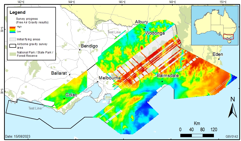
The 2024 airborne gravity survey across southern and eastern Victoria is about to recommence operations over the Gippsland and Hume regions including offshore, having previously completed survey areas in the Colac-Otway, Gippsland and Hume regions.The airborne survey is being collaboratively organised through Surveyor-General Victoria within the Department of Transport and Planning (DTP), Geological Survey of Victoria within the Department of Energy, Environment and Climate Action (DEECA) and Geoscience Australia (Commonwealth Government).
The objective of the project is to collect consistent and evenly distributed gravity measurements. The new gravity data will significantly improve Victoria’s gravity model which is used to provide accurate and reliable heights from GPS positioning. The data will also be used by geoscientists to further their understanding of southeast Australia’s geological ‘architecture’ and how it has evolved over time. This helps manage earth resources, infrastructure and natural hazards.
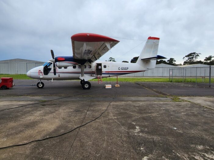
The airborne gravity survey is being performed by Sander Geophysical Limited who specialise in airborne geophysical surveys. Experienced pilots, operating a DHC-6 Twin Otter, fixed wing aircraft, will fly along a planned route with flight lines spaced about 500m – 1km apart. The aircraft will fly in public airspace at a nominated ground clearance of 150 metres, increasing to 300 metres over built-up areas. The gravity sensing instruments do not emit any signals or impact people, animals or infrastructure in any way.
The airborne gravity surveys will be performed in stages throughout 2024 and stakeholders are being notified at least two weeks prior to commencing operations across regions. Stakeholders that may be involved in activities that might impact or be impacted by the airborne gravity surveys are encouraged to provide feedback.
Factsheet
flights over diverse land types including urban and rural areas surveys are being conducted to improve the vertical accuracy of GPS and better understand Victoria’s geology.
The airborne gravity surveys are being conducted across Victoria in 2024. Stakeholders and the general public are being advised of the surveys before they occur across specific areas.
Introduction
Surveyor-General Victoria, part of the Department of Transport and Planning (DTP), and the Geological Survey of Victoria, part of the Department of Energy, Environment and Climate Action (DEECA), are collaborating with Geoscience Australia (GA) to capture airborne gravity data over targeted regions of Victoria.
The objective is to collect consistent and evenly distributed gravity measurements. The new survey data will significantly improve Victoria’s gravity model and the accuracy of real-world heights from GPS. The data will also be used by geoscientists to further their understanding of southeast Australia’s geological ‘architecture’ and how it has evolved over time.
The surveys will be performed by an experienced contractor, Sander Geophysics Limited. The aircraft will fly in public airspace at 150 metres over rural areas, increasing to 300 metres over built-up areas. DTP, DEECA and GA are notifying stakeholders about the surveys before they are performed across regions.
Planned survey areas
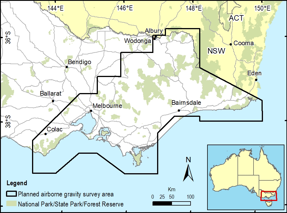
Airborne gravity data is being collected over large regions including the central coast, Melbourne, the Australian Alps and eastern Victoria (see Figure 1). The surveys require, mountainous and coastal terrain and national and state parks and reserves. There is no ground disturbance.
Gravity surveys in Victoria
Victoria has some of the best coverage of ground gravity data in Australia, but some areas such as the alpine and coastal regions are difficult to access. This limits gravity data coverage, with corresponding local uncertainty in the gravity model.
Airborne gravity surveys fill these gaps by capturing consistent and evenly distributed gravity measurements across large areas with minimal disturbance to land users and the environment.
Flight operations
The surveys are being conducted throughout 2024 and will take several months to complete. The flight schedule is weather dependent and subject to change. Stakeholders and the general public will be notified at least two weeks before airborne surveys start.

The survey operations will be conducted by Sander Geophysics Limited, an airborne gravity survey specialist contractor. Experienced pilots operating a DHC-6 Twin Otter fixed wing aircraft will fly along a planned route with flight lines spaced 500 metres to 1 km apart. The aircraft will fly in public airspace at a nominated ground clearance of 150 metres, increasing to 300 metres over built-up areas.
An independent air safety audit has been conducted on the aircraft and flight plans. Flying will only occur in favourable weather conditions.


