Bright and early on a Sunday morning 20 intrepid PESA members met at the Boab tree in Kings park ready to embark on a tour of the Swan Valley, and an intellectual journey that allowed for the geography of our working lives to be mapped onto the geology, geography and scale of the city we live in.
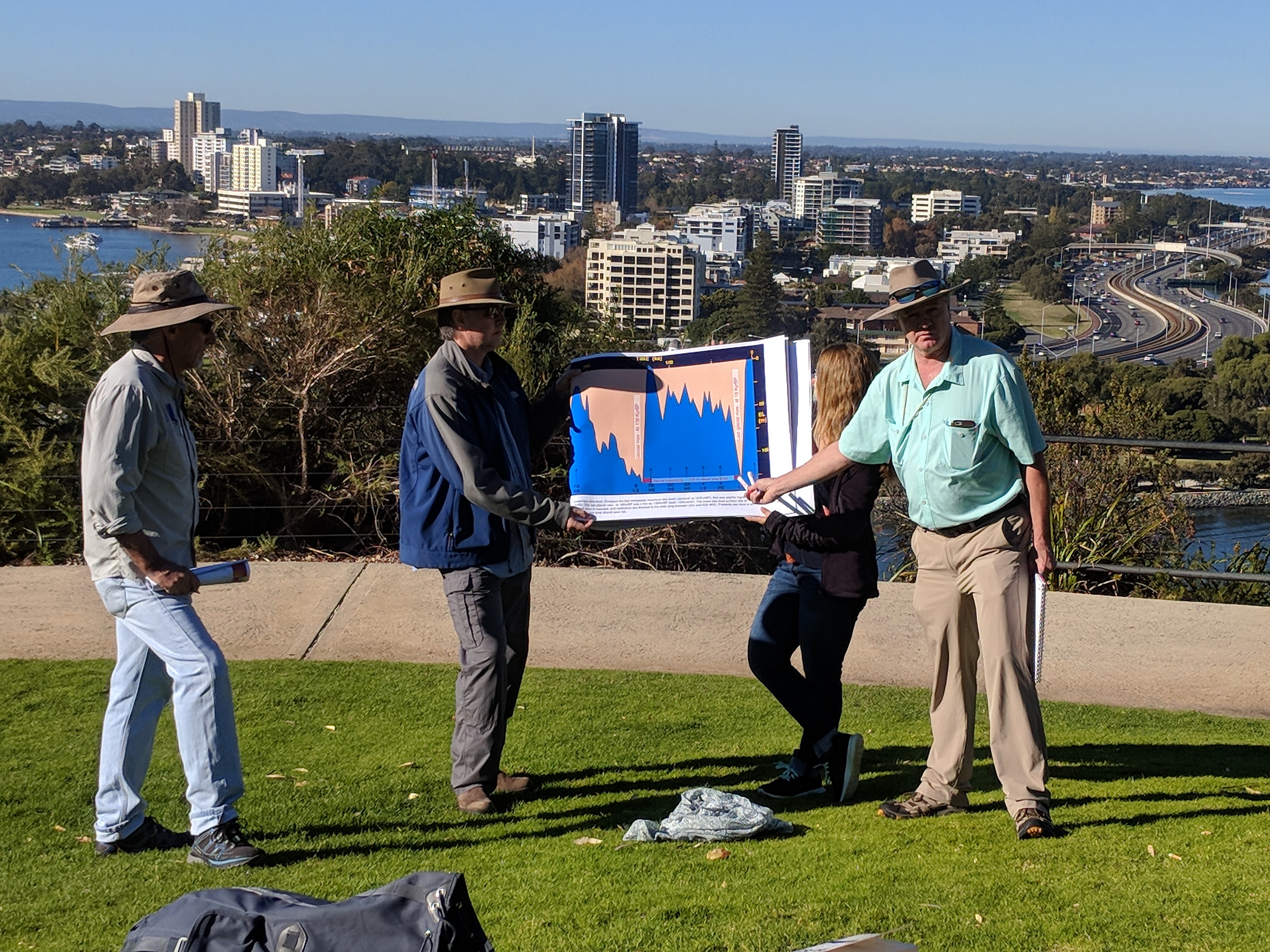
The morning began with an open air “powerpoint” presentation, by trip leaders Simon Lang and Neil Marshall. From a spectacular viewpoint with most of the mid and lower reaches of the Swan river visible, Simon took us through sea level curves, aerial photographs, and a sequence stratigraphic perspective on the Swan coastal plain. All this done with the aid of his slides printed large in an A2 flip book and held at both ends by two glamorous assistants.
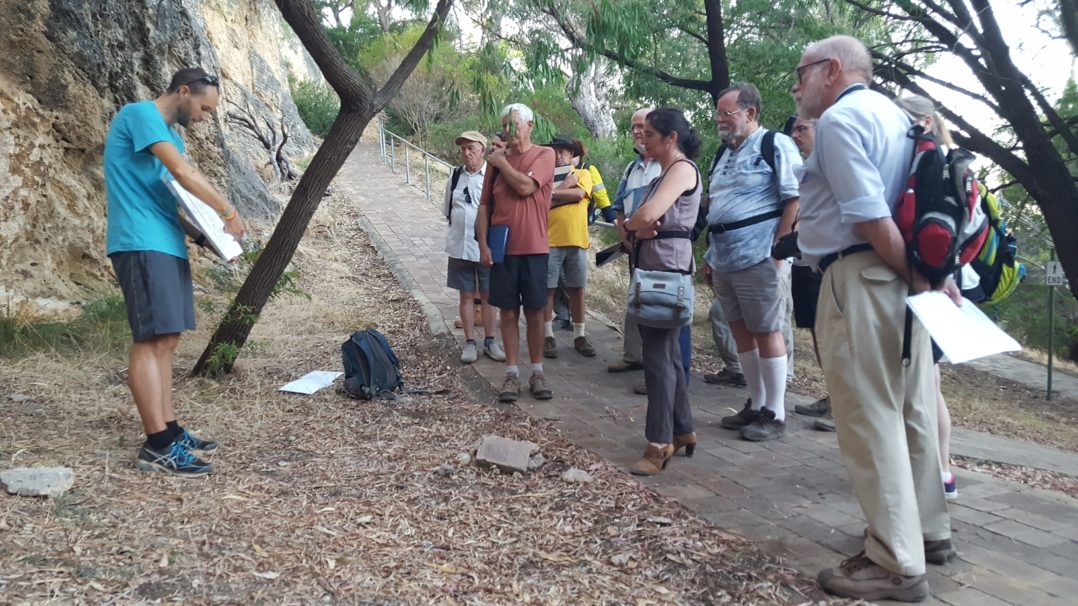
With our sea level curves firmly in our minds, and the large-scale perspective obtained from the view point we moved on down to the coast at Cottesloe where, after coffee and muffins, we inspected the wave cut platforms and small-scale evidence of the same processes, as they could be viewed with a hand lens down on our knees in the sand. With alternating evidence from rhizoliths and burrows the sequence boundaries resulting from transgressions and marine incursion could be plotted.
Just a short bus journey further on we returned to a high lookout, this time at Peppermint Grove’s Bay View Terrace where we could see the wide river meanders, and long spit formation, along with evidence of freshwater running close to surface even within the distinctly brine influenced channel bed, and we speculated on how this might manifest in a core, and whether the conclusions we would draw from this core would be accurate.
Then heading up through the coastal plain up to our high lookout at Walyunga National Park, Simon pointed out beach and dune ridges from the bus window that we all must have passed and never noticed before. From the top of the road we could look down over the slope into the valley, from the point of highest beach deposits 75m above current sea level, when Kalumunda would have been a seaside resort.
On our journey down to the wind up at the winery, we learned about the historical evidence for the other end of the sea level story, when the sea level was much lower and the coast was well out beyond Rottnest. There is evidence of local aboriginal tribes using flint tools, which was a puzzle to the archaeologists who could find no source for these flints, until some wells were drilled offshore in the Perth Basin intersecting a layer of flints which must have been exposed in the cliffs at the incising Perth canyon when sea level was much lower than today.
Arriving at the winery, we settled in for a pleasant lunch, and a touch of wine tasting, but finished the sedimentology after lunch from the lookout over the vines. From here we could observe the current channel belt, and discussed length to width ratios of the sand bodies relative to the meander wavelength, and considered how different cores could be taken even 20m apart through the winery soils based on previous discussions had with the winery owner regarding clay contents and small-scale areas of overbank deposits.
Over the day we thought about the sedimentary processes present in the Swan Valley on a variety of length scales, and tried to tie these back at all times to our understanding of systems on the North West Shelf, that we are familiar with from both wells and seismic. This allowed us to anchor our more abstract thought processes we have at work during the week by considering the perspectives of the landscape we see around us during our weekends.
PESA WA Branch have plans for more field trips this year. If you have any questions or suggestions for a good field trip – please email Rob Ross at rob.ross@qeye-labs.com.
Visit the events page to see the latest branch activities and login to receive member discounts.

