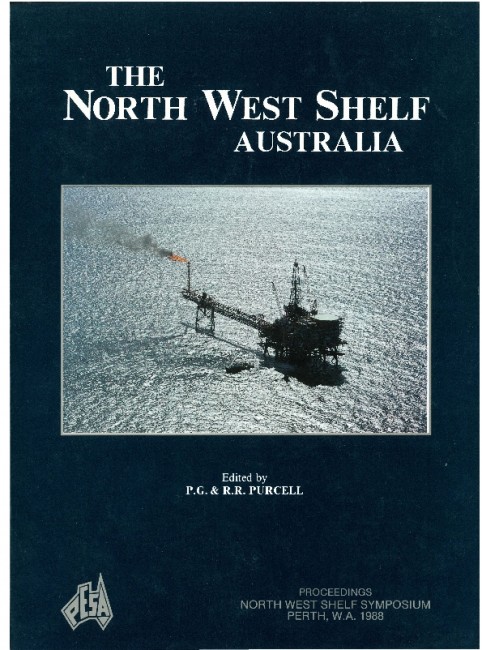
Publication Name: The North West Shelf Australia
Authors: J.C. Parry and D.N. Smith
Date Published: July 1988
Number of Pages: 28
Reference Type: Book Section
Abstract:
Australia's first flowing oil well (Rough Range 1) was discovered in the Exmouth Sub-basin. This well, which flowed 87 kilolitres of oil per day on a test in November 1953, was the discovery that set off the search for oilin Australia which has continued until the present day.
To encourage oil exploration in the post-war period, the Western Australian Government issued large leases
to the only company showing any interest in exploring (Ampol Petroleum Ltd). These covered all of the onshore portions of the Bonaparte, Canning, Carnarvon and Perth Basins together with offshore waters to a depth of 100 fathoms. This included the area of the subsequent Barrow Island discovery.
After the initial discovery, W APET persevered through 11 frustrating years before discovering hydrocarbons in commercial quantities at Barrow Island in 1964. The Barrow discovery provided a great impetus to exploration, particularly offshore (the first offshore seismic surveys had been carried out in Exmouth Gulf in 1961). To assess the structure andstratigraphy of this new offshore oil province, WAPET drilled 15 stratigraphic wells on islands between Cape Range and Barrow Island. When composited, these wells covered the whole ofthe sedimentary section from Triassic to Neocomian.
With the discovery of the large gas-condensate fields on the Rankin Platform by BOCAL in 1971, exploration extended further offshore. In 1979, the major operators (WAPET and the Woodside Group) made mandatory relinquishments of some of their better acreage and new operators discovered small oil fields at South Pepper, North Herald, Chervil, Bambra and Harriet, with W APET also discovering the Saladin Oil Field.
The Barrow and Exmouth Sub-basins form an elongate, fault-bounded rift which has filled with 7000 metres of marine Jurassic sediments which are thought to be the prime source of much of the hydrocarbons reservoired within and adjacent to the trough. The rift formed during the early phase of the breakup of Gondwanaland. An earlier, basement-controlled northsouth set of west-block-down faults has been overprinted by the north-east trending faults of the main rift phase. Both sets of faults have a component of right lateral shear.
Geochemical correlations indicate that source rocks for both the oil and gas accumulations range from the Middle Triassic Locker Shale through parts of the fluvial to deltaic Upper Triassic Mungaroo Formation, to the marine shales deposited in the Jurassic trough. The biodegradation of some of the oils and the predominance of gas-condensate in some structural provinces can be explained by the timing of the various phases of migration, the maturity of the source at the time of migration, and subsequent maturation of the hydrocarbons within the trap. Faults appear to have acted as conduits at times when they were moving, and as seals during periods of inactivity. The Exmouth, Barrow and Dampier Sub-basins continue to be sought after by explorers because the hydrocarbon accumulations discovered to date contain the largest reserves on the North West Shelf.


