SeaBird Exploration has announced a partnership deal with MultiClient Geophysical to conduct a 6000km multi-client 2D Deep Imaging Campaign on the Norwegian Continental Shelf.
The company said the acquiring vessel will tow a single 12,000-meter streamer with a powerful source to image the oceanic and continental crust, for new conceptual geological understanding and improved interpretation of large-scale tectonics.
“This leads to an enhanced understanding of the regional geology and may reveal new play models. Harrier Explorer will be used for the project, which is estimated to have a duration of approximately two months,” SeaBird said.
“The survey is cash neutral through pre-funding and cost recovery. The company will be entitled to 50% of all future revenue stemming from sales of the acquired data. With this, Seabird has three vessels booked for most of Q3.
The announcement came just days after the Oslo headquartered seismic data company said it had received a letter of award to provide a source vessel for a forthcoming project in Asia Paficic.
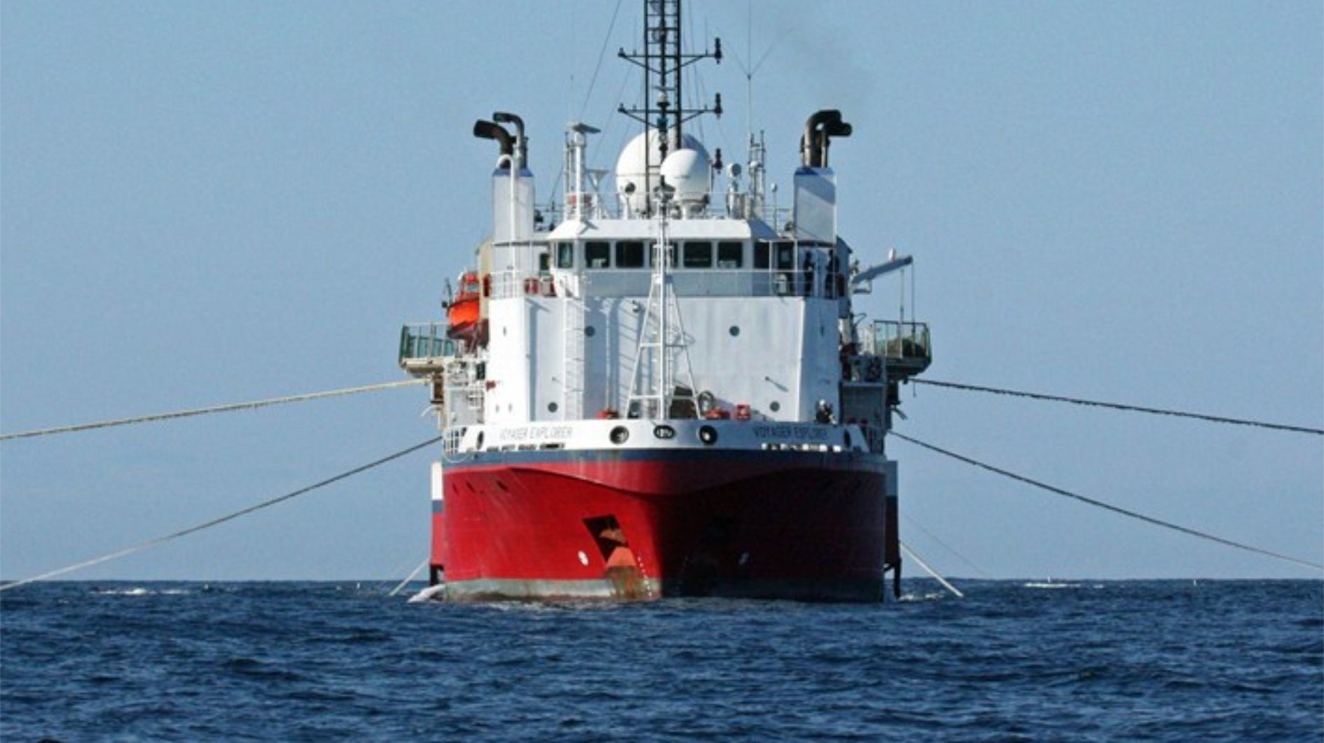
The three-month project is expected to begin in the third quarter and SeaBird said it would be deploying the Voyager Explorer for the work.


