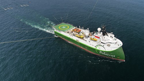
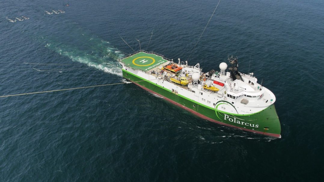
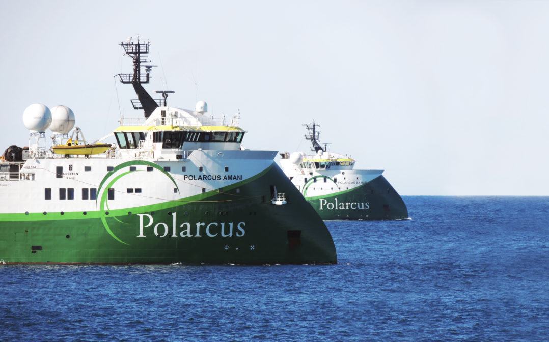
Polarcus has secured significant industry prefunding and has been granted the environmental permit for a broadband 3D marine seismic project in Australia.
Polarcus did not provide details on the project, but the Australian offshore safety regulator NOPSEMA has revealed that the project is called the Zénaïde 3D.
NOPSEMA recently accepted the environment plan for the project, a three-dimensional multi-client marine seismic survey to be undertaken in Commonwealth waters located approximately 50 km off the Kimberley coast of northern Western Australia.
The acquisition area is approximately 3,300 km2 within the western Joseph Bonaparte Gulf of the Bonaparte Basin (title block WA-522-P) and is 6 km from the mainland coast in water depths of approximately 59– 97m.
The planned seismic source has a total capacity of 3,090 cubic inches (cui) and will be towed at approximately 4.5 knots a short distance behind the seismic vessel at depths of 5–10 m. Ten solid hydrophone streamers, each measuring approximately 8,100 m and spaced 150 m apart, will be towed at a depth of approximately 15m below the surface.
The seismic source will be discharged every 12.5 m (approximately five seconds) along a series of parallel east-west lines spaced approximately 750m apart. The surrounding Operational Area incorporates the necessary space for vessel manoeuvring such as line run-ins, run-outs, line-turns source testing, soft starts and turns, refuelling and resupply, use of support and supply vessels as required, and crew changes.
Polarcus said: “This extension of Polarcus’ Cygnus multi-client 3D survey represents the next step towards unlocking the complex geology of the Vulcan Sub-basin through the application of Polarcus’ innovative XArray(TM) acquisition methodology.”
The project is due to start in Q4 2017 and will run for approximately four weeks. As a result of this timing, the previously announced Australian projects will start in 2018 extending the Polarcus Australian campaign into Q2 2018.


