- This event has passed.
PESA QLD: Online Course – Introduction to Python for Geoscience – 2023 – SOLD OUT

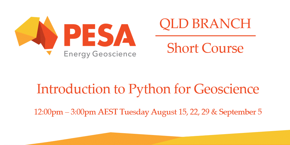
Introduction to Python for Geoscience 2023
PLEASE NOTE THAT THIS EVENT IS NOW SOLD OUT. IF YOU WOULD LIKE TO JOIN THE WAITLIST FOR FUTURE COURSES, OR IN THE EVENT OF A WITHDRAWAL FROM THIS COURSE, PLEASE SELECT A ‘WAITLIST’ TICKET BELOW.
Course Synopsis
Take your geoscience data analysis to the next level with SIH’s Python for Geoscience course. Leverage the modelling and workflow capabilities of Python to wrangle terabytes of geoscience data. We will introduce Python foundations integrating geospatial and temporal raster and vector data. We will carry out exploratory, machine and deep learning analyses on these datasets, and demonstrate workflows to go from your local computer to high performance, cloud, and GPU computing. At the end of the course, participants will be able to adapt workflows and apply these to their own datasets and generate reports.
Course Pre-requisites
No previous programming experience is required, but Session 1 is a pre-requisite for the other sessions. Training will be delivered online, so you will need access to a modern computer with a stable internet connection. Participants are encouraged to setup a Python environment on their local computer (instructions to be provided), but participation using Google Colab will also be supported (Google account required).
| Presentation: | Introduction to Python for Geoscience 2023 |
| Venue: | Participants will be provided with a Zoom link. Trainers will be broadcasting from Sydney. |
| Date & Time: | Session 1 Python fundamentals Tues Aug 15, 12:00-3:00pm (AEST) Session 2 Specialist python libraries and data analysis for geoscience Tues Aug 22, 12:00-3:00pm (AEST) Session 3 Pattern recognition in geoscience Tues Aug 29, 12:00-3:00pm (AEST) Session 4 Large data and long running workflow strategies Tues Sep 5, 12:00-3:00pm (AEST) |
Introduction to Python for Geoscience
Session 1 Python fundamentals
Running code
Syntax, comments, and variables
Lists and indexing
Loops, operators, conditions
Control statements
Functions
Reading and exploring data from external csv/text files
Basic NumPy arrays and Pandas dataframes
Basic plotting with Matplotlib
Session 2 Specialist python libraries and data analysis for geoscience
Working with shapefiles and well-log data
Intermediate Pandas and NumPy array data manipulation
Working with NetCDF and GeoTIFF raster data using SciPy
Geospatial plotting with Cartopy
Session 3 Pattern recognition in geoscience
Raster file image recognition
Machine learning approaches with Scikit-learn
Deep learning with Keras/Tensorflow and GPUs
Time series forecasting/prediction
Session 4 Large data and long running workflow strategies
Large-scale data multi-processing
Debugging and profiling code
Dask and GeoPandas for dealing with large data
ArcGIS/QGIS data exporting to Python and back.
Throughout the four sessions you will gain experience with best practices for structuring code and testing modular functions and workflows. You will learn about the libraries, data structures, and functions available within Python. We will explore commonly used approaches to solve geoscience problems with deep learning and parallel computing. Bonus tools and skills that you will be exposed to throughout the course include: GitHub and version control, Jupyter Notebooks, troubleshooting and errors, Python library management, and Google Colab/text editors & Docker containers.
| Cost for the complete course of four sessions: | |||
| PESA Members – $650 Non-Members – $800 Student / Retired Members – $650 |
 |
Keep track of upcoming PESA QLD Events: Click here to view PESA QLD Events Calendar on the web———————————————————————Click here to subscribe to PESA QLD Events by adding it to your Google Calendar |


