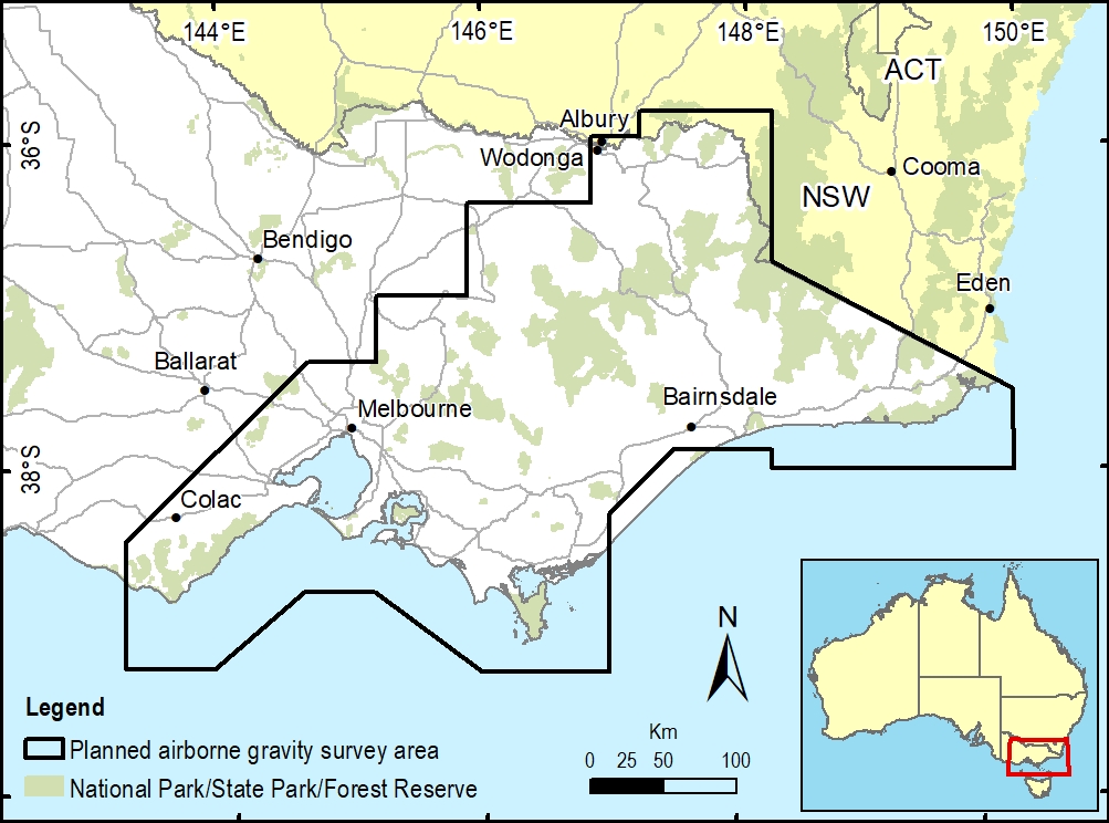
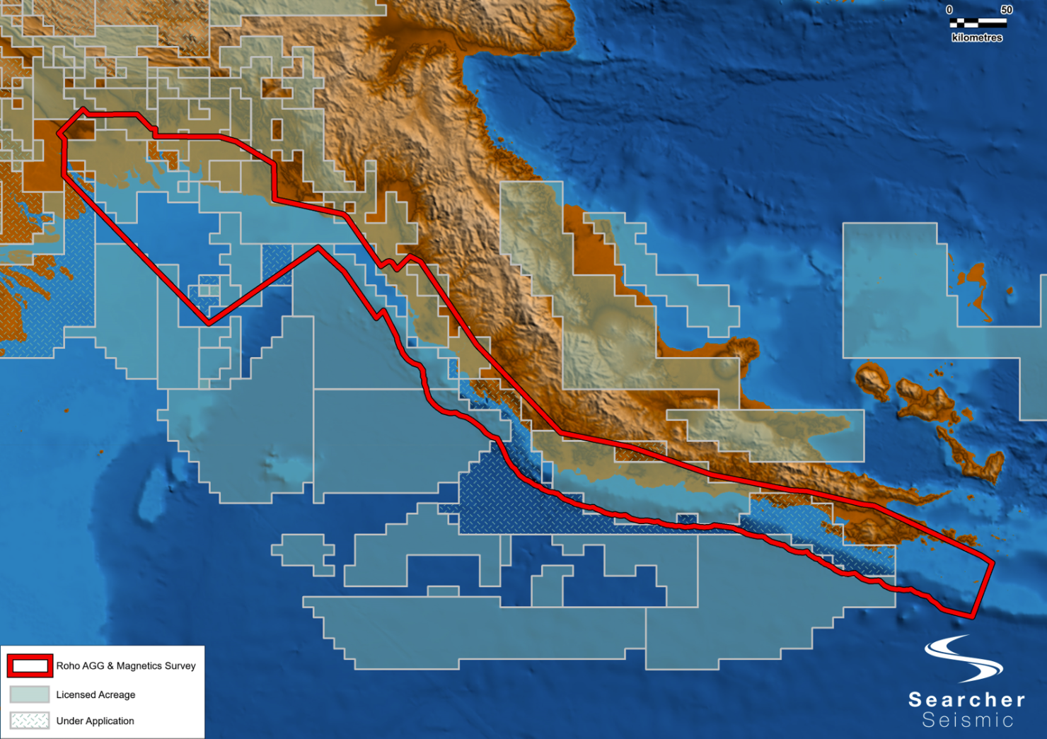
Airborne gravity surveys are preparing to be flown across large regions of Victoria.
The airborne surveys are being collaboratively organised through Geological Survey of Victoria within the Department of Jobs, Precincts and Regions (DJPR), Surveyor-General Victoria within the Department of Environment Land Water and Planning (DELWP) and Geoscience Australia (Commonwealth Government).
The Department of Environment, Land, Water and Planning said the objective of the project is to collect consistent and evenly distributed gravity measurements. The new airborne gravity data will contribute to modelling and interpretation of geological and geophysical observations across the Southeast Lachlan Crustal Transect, a key geological reference section for eastern Australia.
Geological architecture
The results will improve the understanding of the geological architecture, earth resources potential and natural geological hazards of eastern Victoria. The data will also significantly improve Victoria’s gravity model which is used to provide accurate and reliable heights from GPS positioning.
The airborne gravity survey data will be incorporated into existing state and national public geoscience databases and will be made publicly available by Geoscience Australia and the Geological Survey of Victoria.
An approach to market for the airborne gravity survey was released through AusTender on 14 September 2020. Following appointment of a preferred contractor a proposed time schedule for the airborne operations and data capture will be available.
The airborne gravity surveys will involve a small fixed wing aircraft flying along flight lines spaced about 1-2km apart. The aircraft will fly in public airspace at a nominated ground clearance of 150 metres, increasing to 300 metres over built-up areas. The gravity sensing instruments are passive and do not emit any signals or impact people, animals or infrastructure in any way.
As part of the Stakeholder Engagement Plan for the project, we are reaching out to stakeholders that may be involved in activities that might impact or be impacted by the airborne gravity surveys.


