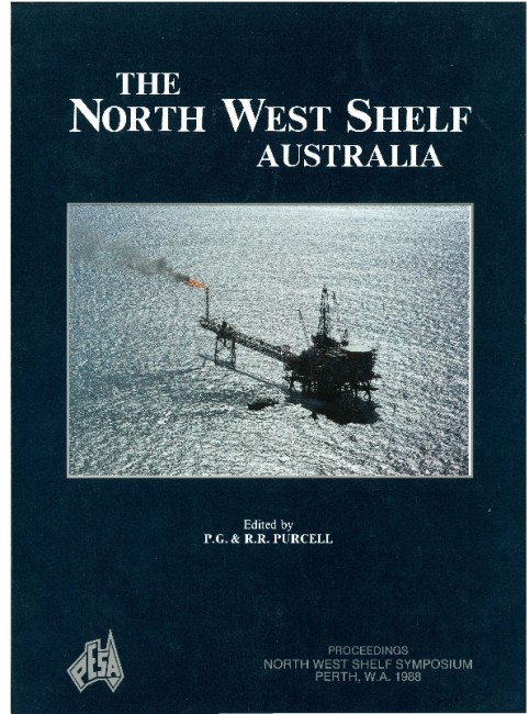
Publication Name: The North West Shelf Australia
Authors: G.B. Wormald
Date Published: July 1988
Number of Pages: 24
Reference Type: Book Section
Abstract:
The Challis oilfield, discovered in October 1984, is located within the Territory of Ashmore and Cartier Islands Licence AC/L3 in the Vulcan Sub-basin. Following the Challis-1 discovery well, a reconnaissance 3D seismic survey was conducted over the field and a further 4 wells were drilled. Oil columns, varying between 18 and 38 m, were intersected in all 5 wells and subsequent production testing resulted in oil flows of up to 9276 stb/day.The oil accumulation is small, with reserves of around 20 MMBbls, and occurs in a low relief, fault dependent closure which covers an area of approximately 7 sq km with a maximum vertical relief of 55 m. Reactivation of pre-existing faults during Late Miocene tectonism has served to create a complex pattern of faulting not easily mapped by seismic methods. The Middle to Upper Triassic reservoir section was deposited in a marginal marine setting where sheet sands were formed by coalescing channels which migrated across a broad estuary or bay. These sands are interbedded with tidal flat, bay and shallow marine claystones, siltstones and carbonates. Reservoir quality is excellent in the main reservoir sand, the CS 2.3 Unit, where effective porosities average 29%
and horizontal permeabilities range between 500 and 7000 md. The 40? API Challis crude is a high quality,
undersaturated and unaltered paraffinic/napthenic oil which is likely to have been generated from Upper
Jurassic shales in the Swan Graben and Skua Trough, southwest of the Challis field.
On account of the complex faulting and thin reservoir sands which exist at Challis, water injection may be required. Oil production is due to commence in late 1989 using a Floating Production Facility.


